
Immersive exploration of geographical data
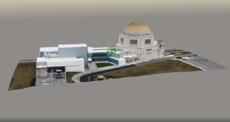
Our spatial analysis services offer advanced capabilities such as 3D modeling and visualization, allowing for immersive exploration of geographical data and facilitating strategic decision-making.
Precision 3D modeling, transforming real estate with drone imagery. High-fidelity building models let buyers and planners explore properties before a single visit.
A 3D campus map to locate and find nearby places — departments, hostels, sports grounds and entry gates, all in an interactive 3D scene.
Tell us your requirements and our GIS experts will get back to you.
Request a Consultation