
GIS Insights
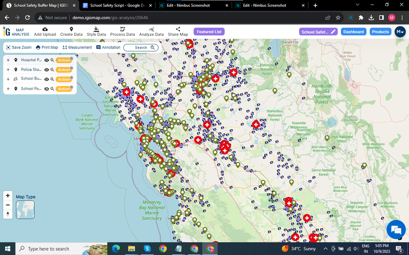
A Geographic Information System (GIS) connects data to a map, integrating location data with descriptive information. From choosing the next store location to aligning pharma sales territories, GIS turns “where” into a competitive advantage.
In this post we look at practical ways businesses use GIS every day — buffer analysis around service points, drive-time isochrones for delivery planning, and territory design for field teams.
Leave a Reply