
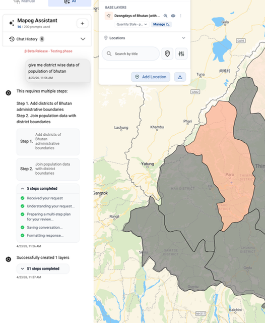
Just describe what you need — the AI handles the rest. From fetching boundaries to joining population data, MAPOG Assistant executes complex GIS workflows automatically, right on your map.
Example: “Give me district-wise data of population of Bhutan” — the assistant plans the steps, adds district boundaries, joins population data and creates the layer for you.
We build agents on your requirements, connected to your data.
Discuss Your Use Case