
Interactive story maps for every industry
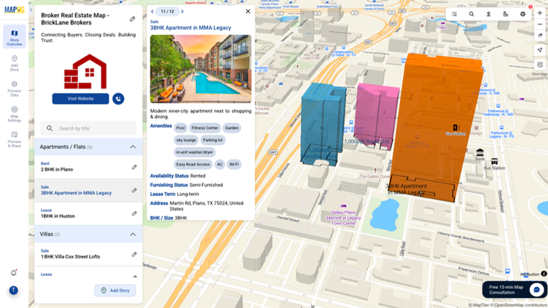
Story by MAPOG turns any dataset into an interactive, shareable story map. Five map types cover every industry:
Showcase property listings on interactive maps — categorized, searchable and detailed. Each pin includes images, ratings and every property detail, with 3D buildings and nearby points with distances.
Plan marathons with routes, checkpoints, water stations and crowd zones. Ideal for educational storytelling — mark origins of inventions or river paths with custom points and labels.
Add a complete travel itinerary on an interactive map — day-wise, with stay details, departure/arrival times, meals and activities. A shareable visual plan for smoother client interaction.
Display all franchise or store locations on a single map with brand details, contact info, operating hours and categories by region or type.
Overlay real-world locations on a scanned base map — like a college campus — marking departments, hostels, entry gates and sports grounds.