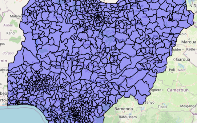

All In One Map Solution
MAPOG is our all-in-one map solution, empowering spatial intelligence through comprehensive GIS tools, data solutions and mobile applications.
Explore the sub-products below, or try it live at story.mapog.com.
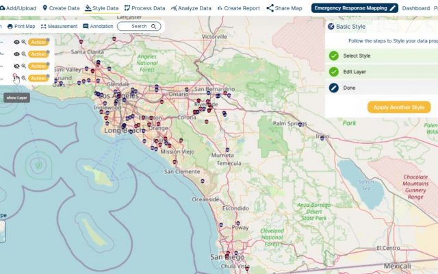
Spatial data interpretation for visualizing geographic patterns with a comprehensive analysis toolkit.
Explore →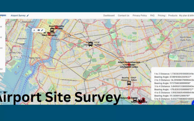
Precise route plotting, distance calculation and bearing angle determination — on web and mobile.
Explore →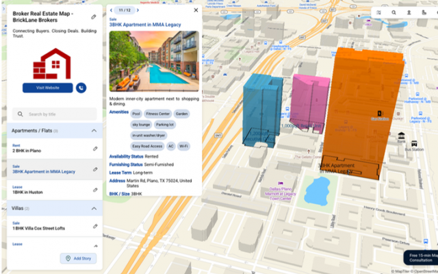
Interactive story maps — category, travel, store mapper, geo-referencing and more.
Explore →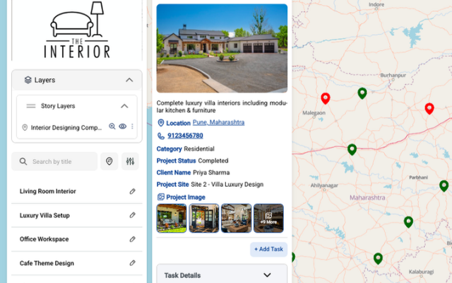
Assign tasks directly on the map with deadlines, deal values and real-time status tracking.
Explore →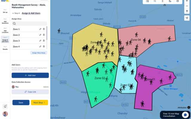
Create surveys, assign areas to field teams and watch responses arrive in real time.
Explore →