
Buffers, isochrones and decision support
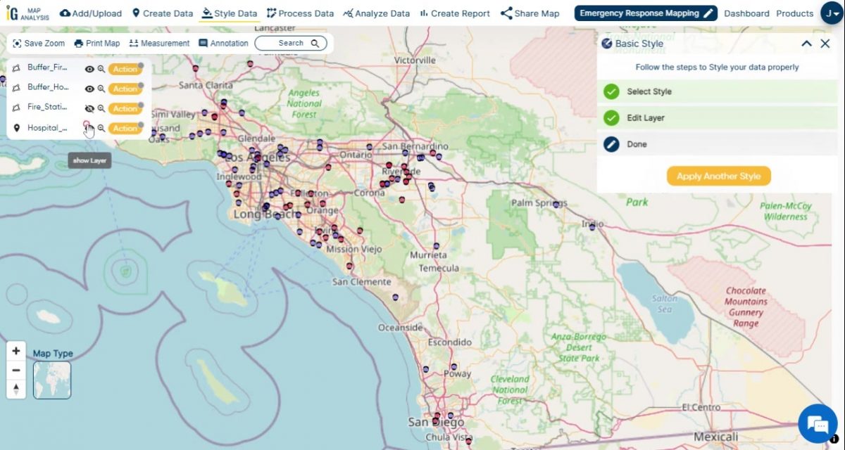
Spatial data interpretation for visualizing geographic patterns, with decision-support tools for informed decision-making processes.
A comprehensive toolkit including data conversion, polygon, point and polyline creation, buffering, isochrone analysis, and more.
Identifying areas lacking emergency services within a 5-kilometer radius of fire and police stations.
Estimating delivery times for pizza orders across a city using drive-time polygons.