
MAPOG

GIS Data

200+ countries, 200+ layers each
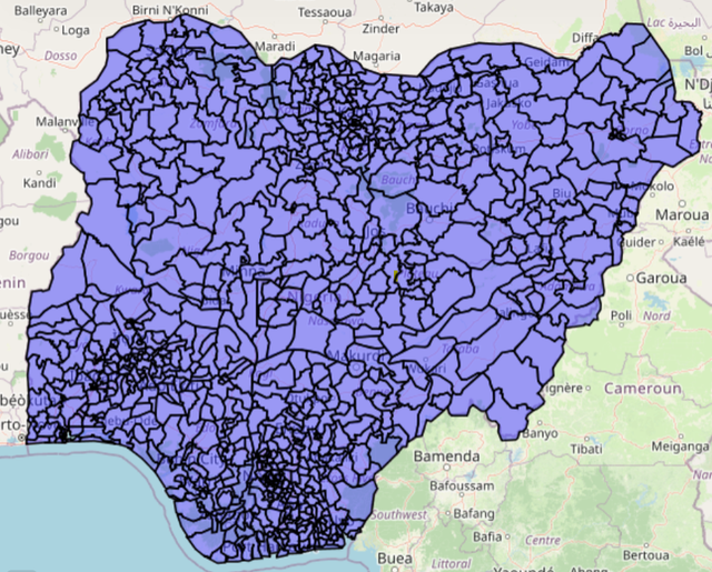
A comprehensive collection of GIS data including administrative boundaries, transportation networks, airport points and much more.

  • Over 200+ countries with 200+ layers available for each.
  • Downloadable in multiple formats: Shapefile, GeoJSON, KML, CSV and many more.
  • Add lines, polygons and points effortlessly.
  • Facilitates spatial analysis and informed decision-making.

Examples: Belgium bank points, Nigeria administrative layers, Afghanistan highway lines.